 vesseltracker.com
 Longvik
Current Status
Where is the vessel?
Longvik is currently in Near La Pallice, based on AIS data received less than 1h ago.
Latest AIS update:
Current position: 46.15770° N, 1.21108° W (Near La Pallice)
Average speed (last 7 days): Loading…
Average speed (last 30 days): Loading…
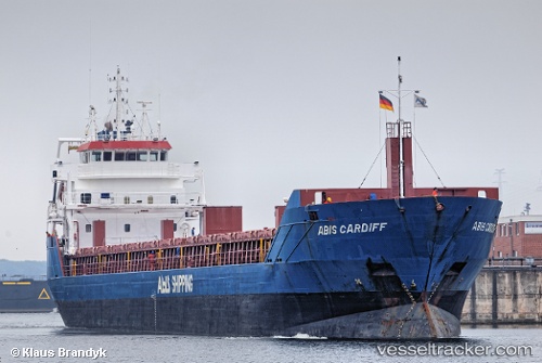
Vessel profile: Longvik is a General Cargo Ship with dimensions 114m x 14m.
This page combines live AIS, route history, probable destination signals, nearby traffic, and port activity for practical vessel monitoring.
The current position of vessel Longvik is 46.15770 lat / -1.21108 lng. Updated: 2026-05-01 22:08:51 UTCNearest reference points:
- Near La Pallice
- Near La Rochelle
- Near Saint-Pierre-d'Oléron
Currently sailing under the flag of Netherlands ![]()
Longvik built in 2011 year
Deadweight:
6050 tDetails:
Live Vessel Longvik Analytics (details, animations, etc.)
Recent AIS points (UTC):
2026-05-01 18:23:51 UTC · 46.15765, -1.21108 · SOG 0 kn · COG 264°2026-05-01 19:11:50 UTC · 46.15767, -1.21107 · SOG 0 kn · COG 264°
2026-05-01 19:53:51 UTC · 46.15767, -1.21108 · SOG 0 kn · COG 264°
2026-05-01 22:08:51 UTC · 46.15770, -1.21108 · SOG 0 kn · COG 264°