 vesseltracker.com
 ARA ROTTERDAM
Current Status
Where is the vessel?
ARA ROTTERDAM is currently in Near Fenit, based on AIS data received about 2h ago.
Latest AIS update:
Current position: 52.27064° N, 9.85955° W (Near Fenit)
Average speed (last 7 days): Loading…
Average speed (last 30 days): Loading…
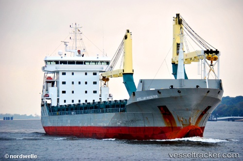
Vessel profile: ARA ROTTERDAM is a General Cargo with dimensions m x m.
This page combines live AIS, route history, probable destination signals, nearby traffic, and port activity for practical vessel monitoring.
The current position of vessel ARA ROTTERDAM is 52.27064 lat / -9.85955 lng. Updated: 2026-04-30 04:12:46 UTCNearest reference points:
- Near Tarbert Island
- Near CASTLETOWN BEARHAVEN
- Near Skull
Currently sailing under the flag of Portugal ![]()
Details:
Live Vessel ARA ROTTERDAM Analytics (details, animations, etc.)
Recent AIS points (UTC):
2026-04-30 01:03:47 UTC · 52.27063, -9.85954 · SOG 0 kn · COG 240°2026-04-30 01:45:44 UTC · 52.27062, -9.85956 · SOG 0 kn · COG 240°
2026-04-30 03:39:42 UTC · 52.27069, -9.85945 · SOG 0 kn · COG 240°
2026-04-30 04:12:46 UTC · 52.27064, -9.85955 · SOG 0 kn · COG 240°