 vesseltracker.com
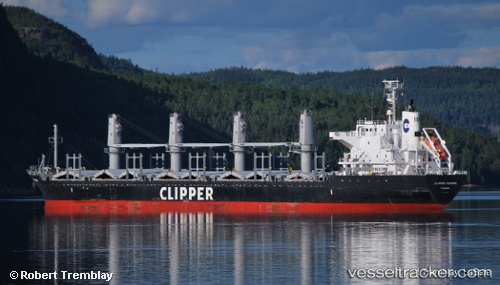
 Alea
Alea
Current Status
Where is the vessel?
Alea is currently in Near Vila do Conde Pt/Barcarena, based on AIS data received about 1h ago.
Latest AIS update:
Current position: 1.48605° S, 48.76367° W (Near Vila do Conde Pt/Barcarena)
Average speed (last 7 days): Loading…
Average speed (last 30 days): Loading…
Vessel profile: Alea is a Bulk Carrier with dimensions 169m x 27m.
This page combines live AIS, route history, probable destination signals, nearby traffic, and port activity for practical vessel monitoring.
The current position of vessel Alea is -1.48605 lat / -48.76367 lng. Updated: 2026-05-14 10:16:47 UTCNearest reference points:
- Near Belem
- 55 nm N of Tucuma
- 70 nm N of Tucuma
Currently sailing under the flag of Bahamas ![]()
Alea built in 2009 year
Deadweight:
28319 tDetails:
Live Vessel Alea Analytics (details, animations, etc.)
Recent AIS points (UTC):
2026-05-14 07:04:49 UTC · -1.48482, -48.76100 · SOG 0 kn · COG 223°2026-05-14 07:40:48 UTC · -1.48495, -48.76092 · SOG 0 kn · COG 227°
2026-05-14 10:13:50 UTC · -1.48568, -48.76360 · SOG 0.4 kn · COG 110°
2026-05-14 10:16:47 UTC · -1.48605, -48.76367 · SOG 0.4 kn · COG 99°