 vesseltracker.com
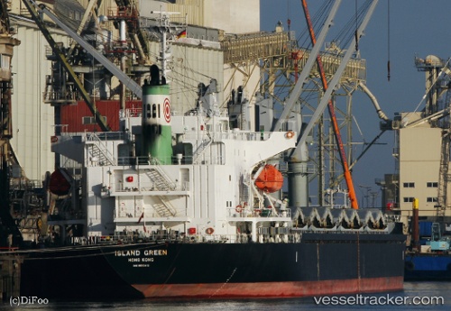
Lady Deniz
Current StatusWhere is the vessel?
Lady Deniz is currently in 17 nm NE of Pointe-aux-Outardes, based on AIS data received less than 1h ago.
Latest AIS update:
Current position: 49.25217° N, 68.11657° W (17 nm NE of Pointe-aux-Outardes)
Average speed (last 7 days): Loading…
Average speed (last 30 days): Loading…
Vessel profile: Lady Deniz is a Bulk Carrier with dimensions 27m x 170m.
This page combines live AIS, route history, probable destination signals, nearby traffic, and port activity for practical vessel monitoring.
The current position of vessel Lady Deniz is 49.25217 lat / -68.11657 lng. Updated: 2026-04-07 21:36:51 UTCNearest reference points:
- 15 nm NW of Saint-Anaclet
- 22 nm N of Sainte-Anne-des-Monts
- Near Ile Aux Coudres
Details:
Live Vessel Lady Deniz Analytics (details, animations, etc.)
Recent AIS points (UTC):
2026-04-07 15:37:05 UTC · 49.25007, -68.11581 · SOG 0.2 kn · COG -1°2026-04-07 17:26:25 UTC · 49.24958, -68.11565 · SOG 0.4 kn · COG -1°
2026-04-07 19:42:27 UTC · 49.25037, -68.11572 · SOG 0.2 kn · COG -1°
2026-04-07 21:36:51 UTC · 49.25217, -68.11657 · SOG 0.2 kn · COG -1°