 JAG ALAIA
Current Status
Where is the vessel?
JAG ALAIA is currently in 232 nm N of Pereybèré, based on AIS data received about 15h ago.
Latest AIS update:
Current position: 16.12299° S, 57.28186° E (232 nm N of Pereybèré)
Average speed (last 7 days): Loading…
Average speed (last 30 days): Loading…
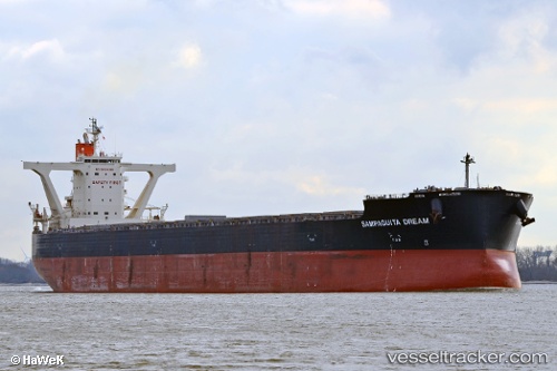
Vessel profile: JAG ALAIA is a Bulk Carrier with dimensions 45m x 292m.
This page combines live AIS, route history, probable destination signals, nearby traffic, and port activity for practical vessel monitoring.
The current position of vessel JAG ALAIA is -16.12299 lat / 57.28186 lng. Updated: 2026-05-23 17:13:24 UTCNearest reference points:
- 164 nm NW of Pointe aux Canonniers
- Open sea, approx. 400 nm off the nearest listed port
- Open sea, approx. 403 nm off the nearest listed port
Currently sailing under the flag of India ![]()
JAG ALAIA built in 2014 year
Deadweight:
180694 tDetails:
Live Vessel JAG ALAIA Analytics (details, animations, etc.)
Recent AIS points (UTC):
2026-05-23 14:03:58 UTC · -15.63623, 57.75677 · SOG 12.9 kn · COG 224°2026-05-23 15:42:25 UTC · -15.89384, 57.50679 · SOG 12.7 kn · COG 223°
2026-05-23 16:08:16 UTC · -15.95978, 57.44237 · SOG 12.3 kn · COG 223°
2026-05-23 17:13:24 UTC · -16.12299, 57.28186 · SOG 12.4 kn · COG 223°