 vesseltracker.com
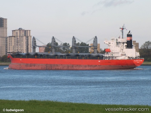
 MANTA NILGUN
Current Status
Where is the vessel?
MANTA NILGUN is currently in Near Onne, based on AIS data received less than 1h ago.
Latest AIS update:
Current position: 4.69596° N, 7.16296° E (Near Onne)
Average speed (last 7 days): Loading…
Average speed (last 30 days): Loading…
Vessel profile: MANTA NILGUN is a General Cargo Ship with dimensions 28m x 180m.
This page combines live AIS, route history, probable destination signals, nearby traffic, and port activity for practical vessel monitoring.
The current position of vessel MANTA NILGUN is 4.69596 lat / 7.16296 lng. Updated: 2026-05-15 10:12:48 UTCNearest reference points:
- Near Onne
- Near Port Harcourt
- Near Bonny
Currently sailing under the flag of Marshall Islands ![]()
MANTA NILGUN built in 2011 year
Deadweight:
33671 tDetails:
Live Vessel MANTA NILGUN Analytics (details, animations, etc.)
Recent AIS points (UTC):
2026-05-15 07:11:42 UTC · 4.67913, 7.15594 · SOG 0 kn · COG 10°2026-05-15 07:38:43 UTC · 4.67913, 7.15595 · SOG 0 kn · COG 10°
2026-05-15 10:00:51 UTC · 4.69599, 7.16289 · SOG 0 kn · COG 101°
2026-05-15 10:12:48 UTC · 4.69596, 7.16296 · SOG 0 kn · COG 101°