 vesseltracker.com
 LUCKY HOPE
Current Status
Where is the vessel?
LUCKY HOPE is currently in 58 nm S of KANNOURA, based on AIS data received less than 1h ago.
Latest AIS update:
Current position: 32.60333° N, 134.51334° E (58 nm S of KANNOURA)
Average speed (last 7 days): Loading…
Average speed (last 30 days): Loading…
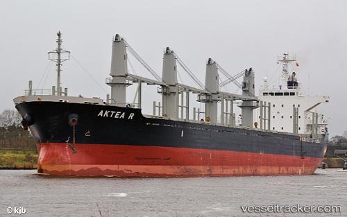
Vessel profile: LUCKY HOPE is a Bulk Carrier with dimensions m x m.
This page combines live AIS, route history, probable destination signals, nearby traffic, and port activity for practical vessel monitoring.
The current position of vessel LUCKY HOPE is 32.60333 lat / 134.51334 lng. Updated: 2026-05-15 06:58:29 UTCNearest reference points:
- 40 nm SW of Minachi
- Near Kochi
- 18 nm SE of Gobo Wakayama
Currently sailing under the flag of Panama ![]()
Details:
Live Vessel LUCKY HOPE Analytics (details, animations, etc.)
Recent AIS points (UTC):
2026-05-15 03:19:28 UTC · 32.63333, 134.50667 · SOG 0 kn · COG -1°2026-05-15 05:01:32 UTC · 32.61500, 134.51334 · SOG 1 kn · COG -1°
2026-05-15 05:46:32 UTC · 32.60667, 134.51500 · SOG 0 kn · COG -1°
2026-05-15 06:58:29 UTC · 32.60333, 134.51334 · SOG 0 kn · COG -1°