 vesseltracker.com
 PANOPI
Current Status
Where is the vessel?
PANOPI is currently in 24 nm SE of GRAN TARAJAL, based on AIS data received less than 1h ago.
Latest AIS update:
Current position: 27.99005° N, 13.63407° W (24 nm SE of GRAN TARAJAL)
Average speed (last 7 days): Loading…
Average speed (last 30 days): Loading…
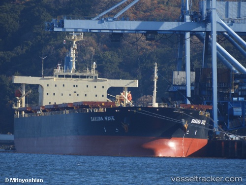
Vessel profile: PANOPI is a Bulk Carrier with dimensions 38m x 229m.
This page combines live AIS, route history, probable destination signals, nearby traffic, and port activity for practical vessel monitoring.
The current position of vessel PANOPI is 27.99005 lat / -13.63407 lng. Updated: 2026-05-14 11:34:49 UTCNearest reference points:
- Near LAS COLORADAS
- Near Aaiun
- Near Lanzarote
Currently sailing under the flag of Liberia ![]()
PANOPI built in 2010 year
Deadweight:
88299 tDetails:
Live Vessel PANOPI Analytics (details, animations, etc.)
Recent AIS points (UTC):
2026-05-14 07:09:39 UTC · 27.38458, -14.17025 · SOG 10.3 kn · COG 37°2026-05-14 08:58:11 UTC · 27.63645, -13.95807 · SOG 10.5 kn · COG 39°
2026-05-14 10:18:00 UTC · 27.81967, -13.79592 · SOG 10.4 kn · COG 41°
2026-05-14 11:34:49 UTC · 27.99005, -13.63407 · SOG 10.5 kn · COG 44°