 vesseltracker.com
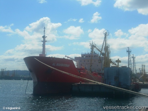
 GALBOT
Current Status
Where is the vessel?
GALBOT is currently in Near Vila Nova de Santo André, based on AIS data received less than 1h ago.
Latest AIS update:
Current position: 37.91500° N, 8.85500° W (Near Vila Nova de Santo André)
Average speed (last 7 days): Loading…
Average speed (last 30 days): Loading…
Vessel profile: GALBOT is a Oil/Chemical Tanker with dimensions m x m.
This page combines live AIS, route history, probable destination signals, nearby traffic, and port activity for practical vessel monitoring.
The current position of vessel GALBOT is 37.91500 lat / -8.85500 lng. Updated: 2026-05-15 08:12:56 UTCNearest reference points:
- Near Sesimbra
- Near Palmela
- Near COVA DA PIEDADE
Currently sailing under the flag of Malta ![]()
Details:
Live Vessel GALBOT Analytics (details, animations, etc.)
Recent AIS points (UTC):
2026-05-15 05:05:46 UTC · 37.91557, -8.85617 · SOG 0.3 kn · COG 333°2026-05-15 05:57:56 UTC · 37.91500, -8.85500 · SOG 0 kn · COG -1°
2026-05-15 07:32:47 UTC · 37.91546, -8.85642 · SOG 0.3 kn · COG 350°
2026-05-15 08:12:56 UTC · 37.91500, -8.85500 · SOG 0 kn · COG -1°