 vesseltracker.com
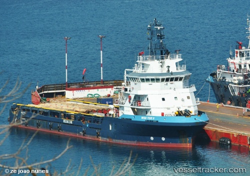
 Wise Tide Ii
Current Status
Where is the vessel?
Wise Tide Ii is currently in 39 nm S of Soroosh (Cyrus) Terminal, based on AIS data received about 20h ago.
Latest AIS update:
Current position: 28.40444° N, 49.67389° E (39 nm S of Soroosh (Cyrus) Terminal)
Average speed (last 7 days): Loading…
Average speed (last 30 days): Loading…
Vessel profile: Wise Tide Ii is a Offshore Tug Supply Ship with dimensions 73m x 16m.
This page combines live AIS, route history, probable destination signals, nearby traffic, and port activity for practical vessel monitoring.
The current position of vessel Wise Tide Ii is 28.40444 lat / 49.67389 lng. Updated: 2026-05-14 21:52:36 UTCNearest reference points:
- 41 nm S of Soroosh (Cyrus) Terminal
- 38 nm S of Soroosh (Cyrus) Terminal
- 41 nm NE of Ras Al Khair
Currently sailing under the flag of Vanuatu ![]()
Wise Tide Ii built in 2009 year
Deadweight:
3230 tDetails:
Live Vessel Wise Tide Ii Analytics (details, animations, etc.)
Recent AIS points (UTC):
2026-05-14 21:29:19 UTC · 28.40444, 49.67390 · SOG 0 kn · COG 349°2026-05-14 21:52:36 UTC · 28.40444, 49.67389 · SOG 0.2 kn · COG 350°
2026-05-14 21:52:36 UTC · 28.40444, 49.67389 · SOG 0.2 kn · COG 350°
2026-05-14 21:52:36 UTC · 28.40444, 49.67389 · SOG 0.2 kn · COG 350°