 vesseltracker.com
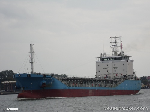
 DEK A
DEK A
Current Status
Where is the vessel?
DEK A is currently in Near Ashdod Bonded, based on AIS data received less than 1h ago.
Latest AIS update:
Current position: 31.82454° N, 34.59723° E (Near Ashdod Bonded)
Average speed (last 7 days): Loading…
Average speed (last 30 days): Loading…
Vessel profile: DEK A is a General Cargo with dimensions m x m.
This page combines live AIS, route history, probable destination signals, nearby traffic, and port activity for practical vessel monitoring.
The current position of vessel DEK A is 31.82454 lat / 34.59723 lng. Updated: 2026-05-15 11:35:22 UTCNearest reference points:
- Near AL ARISH
- 22 nm W of Haifa Granaries
- Near Haifa
Currently sailing under the flag of Vanuatu ![]()
Details:
Live Vessel DEK A Analytics (details, animations, etc.)
Recent AIS points (UTC):
2026-05-15 07:51:37 UTC · 31.82487, 34.59737 · SOG 0.1 kn · COG 285°2026-05-15 09:39:19 UTC · 31.82457, 34.59726 · SOG 0.1 kn · COG 305°
2026-05-15 10:23:21 UTC · 31.82446, 34.59716 · SOG 0.1 kn · COG 315°
2026-05-15 11:35:22 UTC · 31.82454, 34.59723 · SOG 0.1 kn · COG 301°