 vesseltracker.com
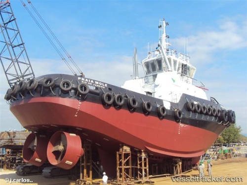
Praia Mole
Current StatusWhere is the vessel?
Praia Mole is currently in Near Guarujá, based on AIS data received about 1h ago.
Latest AIS update:
Current position: 23.99441° S, 46.29468° W (Near Guarujá)
Average speed (last 7 days): Loading…
Average speed (last 30 days): Loading…
Vessel profile: Praia Mole is a [tug.offshore_tug_supply] with dimensions 10m x 32m.
This page combines live AIS, route history, probable destination signals, nearby traffic, and port activity for practical vessel monitoring.
The current position of vessel Praia Mole is -23.99441 lat / -46.29468 lng. Updated: 2026-05-13 19:57:25 UTCNearest reference points:
- Near Guarujá
- Near Santos
- 30 nm SE of Guarujá
Details:
Live Vessel Praia Mole Analytics (details, animations, etc.)
Recent AIS points (UTC):
2026-05-13 16:39:25 UTC · -23.99460, -46.29513 · SOG 0 kn · COG -1°2026-05-13 18:23:36 UTC · -23.99441, -46.29467 · SOG 0 kn · COG -1°
2026-05-13 19:11:46 UTC · -23.99441, -46.29469 · SOG 0 kn · COG -1°
2026-05-13 19:57:25 UTC · -23.99441, -46.29468 · SOG 0.1 kn · COG -1°