 vesseltracker.com
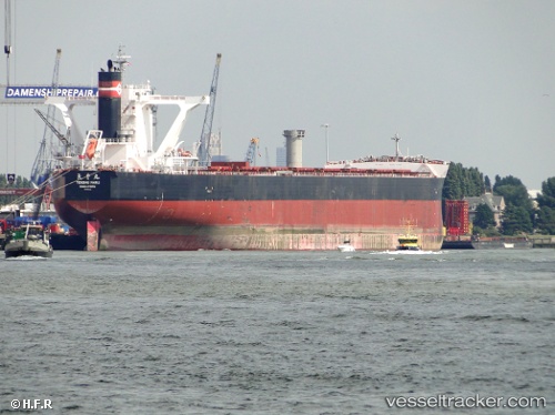
Berge Nyangani
Current StatusWhere is the vessel?
Berge Nyangani is currently in 37 nm S of Ranai, based on AIS data received less than 1h ago.
Latest AIS update:
Current position: 3.30466° N, 108.46369° E (37 nm S of Ranai)
Average speed (last 7 days): Loading…
Average speed (last 30 days): Loading…
Vessel profile: Berge Nyangani is a Bulk Carrier with dimensions 45m x 292m.
This page combines live AIS, route history, probable destination signals, nearby traffic, and port activity for practical vessel monitoring.
The current position of vessel Berge Nyangani is 3.30466 lat / 108.46369 lng. Updated: 2026-05-14 22:31:06 UTCNearest reference points:
- 34 nm SE of Ranai
- 45 nm E of Terempa
- 46 nm E of Kakap Natuna Terminal
Details:
Live Vessel Berge Nyangani Analytics (details, animations, etc.)
Recent AIS points (UTC):
2026-05-14 19:13:45 UTC · 2.74209, 108.17277 · SOG 11.8 kn · COG 3°2026-05-14 20:15:15 UTC · 2.94211, 108.20540 · SOG 11.8 kn · COG 29°
2026-05-14 22:11:46 UTC · 3.25529, 108.42457 · SOG 11.6 kn · COG 41°
2026-05-14 22:31:06 UTC · 3.30466, 108.46369 · SOG 11.7 kn · COG 38°