 vesseltracker.com
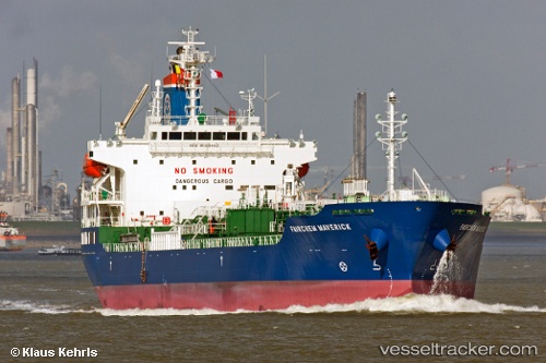
 GINGA MARITA
Current Status
Where is the vessel?
GINGA MARITA is currently in Near Llanwrda, based on AIS data received less than 1h ago.
Latest AIS update:
Current position: 51.93377° N, 3.68734° E (Near Llanwrda)
Average speed (last 7 days): Loading…
Average speed (last 30 days): Loading…
Vessel profile: GINGA MARITA is a Oil/Chemical Tanker with dimensions m x m.
This page combines live AIS, route history, probable destination signals, nearby traffic, and port activity for practical vessel monitoring.
The current position of vessel GINGA MARITA is 51.93377 lat / 3.68734 lng. Updated: 2026-05-17 18:07:46 UTCNearest reference points:
- 12 nm NE of Hunsdon
- Near DEN OSSE
- Near Haarlemmermeer
Currently sailing under the flag of Singapore ![]()
Details:
Live Vessel GINGA MARITA Analytics (details, animations, etc.)
Recent AIS points (UTC):
2026-05-17 13:46:04 UTC · 51.65904, 3.33792 · SOG 13.1 kn · COG 325°2026-05-17 15:58:05 UTC · 51.91281, 3.78557 · SOG 9.6 kn · COG 75°
2026-05-17 16:19:06 UTC · 51.91183, 3.80198 · SOG 3.6 kn · COG 250°
2026-05-17 18:07:46 UTC · 51.93377, 3.68734 · SOG 1.5 kn · COG 283°