 vesseltracker.com
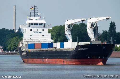
 Unistar
Current Status
Where is the vessel?
Unistar is currently in Near Poti, based on AIS data received less than 1h ago.
Latest AIS update:
Current position: 42.15403° N, 41.61686° E (Near Poti)
Average speed (last 7 days): Loading…
Average speed (last 30 days): Loading…
Vessel profile: Unistar is a Multi Purpose Carrier with dimensions 132m x 132m.
This page combines live AIS, route history, probable destination signals, nearby traffic, and port activity for practical vessel monitoring.
The current position of vessel Unistar is 42.15403 lat / 41.61686 lng. Updated: 2026-04-25 04:14:41 UTCNearest reference points:
- Near Poti
- Near KULEVI
- Near Sup'sa
Currently sailing under the flag of Antigua Barbuda ![]()
Unistar built in 2012 year
Deadweight:
9688 tDetails:
Live Vessel Unistar Analytics (details, animations, etc.)
Recent AIS points (UTC):
2026-04-25 01:02:43 UTC · 42.15323, 41.61704 · SOG 0.1 kn · COG 92°2026-04-25 02:17:40 UTC · 42.15327, 41.61704 · SOG 0 kn · COG 93°
2026-04-25 03:59:42 UTC · 42.15396, 41.61693 · SOG 0.3 kn · COG 117°
2026-04-25 04:14:41 UTC · 42.15403, 41.61686 · SOG 0 kn · COG 124°