 vesseltracker.com
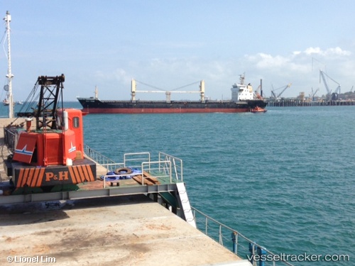
 HUI DA
Current Status
Where is the vessel?
HUI DA is currently in Near Casablanca, based on AIS data received less than 1h ago.
Latest AIS update:
Current position: 33.68500° N, 7.58667° W (Near Casablanca)
Average speed (last 7 days): Loading…
Average speed (last 30 days): Loading…
Vessel profile: HUI DA is a Bulk Carrier with dimensions 145m x 145m.
This page combines live AIS, route history, probable destination signals, nearby traffic, and port activity for practical vessel monitoring.
The current position of vessel HUI DA is 33.68500 lat / -7.58667 lng. Updated: 2026-04-27 22:55:19 UTCNearest reference points:
- Near Mohammedia
- Near Jorf Lasfar
- 54 nm N of El Jadida
Currently sailing under the flag of Liberia ![]()
HUI DA built in 0 year
Deadweight:
0 tDetails:
Live Vessel HUI DA Analytics (details, animations, etc.)
Recent AIS points (UTC):
2026-04-27 19:22:01 UTC · 33.68605, -7.58976 · SOG 0.1 kn · COG 353°2026-04-27 19:55:21 UTC · 33.68500, -7.58833 · SOG 0 kn · COG -1°
2026-04-27 22:07:21 UTC · 33.68667, -7.58667 · SOG 0 kn · COG -1°
2026-04-27 22:55:19 UTC · 33.68500, -7.58667 · SOG 0 kn · COG -1°