 vesseltracker.com
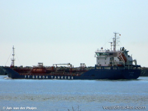
 Ft Portoria
Current Status
Where is the vessel?
Ft Portoria is currently in 32 nm S of Ferring, based on AIS data received about 1h ago.
Latest AIS update:
Current position: 50.27143° N, 0.26845° W (32 nm S of Ferring)
Average speed (last 7 days): Loading…
Average speed (last 30 days): Loading…
Vessel profile: Ft Portoria is a Chemical Oil Products Tanker with dimensions 107m x 107m.
This page combines live AIS, route history, probable destination signals, nearby traffic, and port activity for practical vessel monitoring.
The current position of vessel Ft Portoria is 50.27143 lat / -0.26845 lng. Updated: 2026-05-15 13:49:56 UTCNearest reference points:
- 23 nm S of Ferring
- 27 nm S of Seaford
- 15 nm S of Selsey
Currently sailing under the flag of Malta ![]()
Details:
Live Vessel Ft Portoria Analytics (details, animations, etc.)
Recent AIS points (UTC):
2026-05-15 10:06:25 UTC · 50.16172, -0.97122 · SOG 8.8 kn · COG 79°2026-05-15 11:47:26 UTC · 50.21243, -0.63778 · SOG 7.2 kn · COG 79°
2026-05-15 13:05:45 UTC · 50.24876, -0.40309 · SOG 7.1 kn · COG 76°
2026-05-15 13:49:56 UTC · 50.27143, -0.26845 · SOG 7.4 kn · COG 76°