 vesseltracker.com
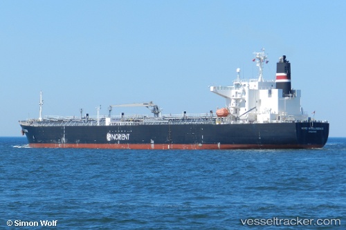
 EL BELLA
Current Status
Where is the vessel?
EL BELLA is currently in 132 nm W of Moratuwa, based on AIS data received about 2h ago.
Latest AIS update:
Current position: 5.98043° N, 77.80085° E (132 nm W of Moratuwa)
Average speed (last 7 days): Loading…
Average speed (last 30 days): Loading…
Vessel profile: EL BELLA is a Oil Products Tanker with dimensions m x m.
This page combines live AIS, route history, probable destination signals, nearby traffic, and port activity for practical vessel monitoring.
The current position of vessel EL BELLA is 5.98043 lat / 77.80085 lng. Updated: 2026-05-15 11:14:21 UTCNearest reference points:
- 98 nm S of Nagercoil
- 94 nm W of Dehiwala
- 90 nm W of Moratuwa
Currently sailing under the flag of Panama ![]()
Details:
Live Vessel EL BELLA Analytics (details, animations, etc.)
Recent AIS points (UTC):
2026-05-15 08:11:42 UTC · 6.06178, 77.20571 · SOG 12 kn · COG 104°2026-05-15 08:11:42 UTC · 6.06178, 77.20571 · SOG 12 kn · COG 104°
2026-05-15 08:11:42 UTC · 6.06178, 77.20571 · SOG 12 kn · COG 104°
2026-05-15 11:14:21 UTC · 5.98043, 77.80085 · SOG 11.3 kn · COG 95°