 vesseltracker.com
 MARIA 1921
Current Status
Where is the vessel?
MARIA 1921 is currently in Near SANTAREM, based on AIS data received less than 1h ago.
Latest AIS update:
Current position: 2.39182° S, 54.78731° W (Near SANTAREM)
Average speed (last 7 days): Loading…
Average speed (last 30 days): Loading…
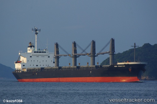
Vessel profile: MARIA 1921 is a Bulk Carrier with dimensions 28m x 176m.
This page combines live AIS, route history, probable destination signals, nearby traffic, and port activity for practical vessel monitoring.
The current position of vessel MARIA 1921 is -2.39182 lat / -54.78731 lng. Updated: 2026-05-14 00:21:09 UTCNearest reference points:
- 15 nm NW of SANTAREM
Currently sailing under the flag of Liberia ![]()
MARIA 1921 built in 2011 year
Deadweight:
35013 tDetails:
Live Vessel MARIA 1921 Analytics (details, animations, etc.)
Recent AIS points (UTC):
2026-05-13 19:51:06 UTC · -2.39206, -54.78731 · SOG 0 kn · COG 278°2026-05-13 21:48:07 UTC · -2.39242, -54.78755 · SOG 0 kn · COG 300°
2026-05-13 22:45:04 UTC · -2.39213, -54.78746 · SOG 0 kn · COG 287°
2026-05-14 00:21:09 UTC · -2.39182, -54.78731 · SOG 0 kn · COG 260°