 vesseltracker.com
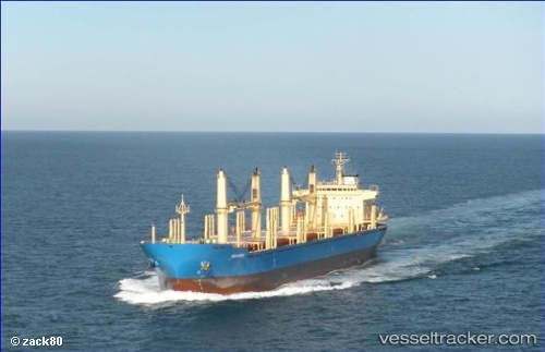
 VISBY
VISBY
Current Status
Where is the vessel?
VISBY is currently in Near Deal Party, based on AIS data received less than 1h ago.
Latest AIS update:
Current position: 33.88383° S, 25.65974° E (Near Deal Party)
Average speed (last 7 days): Loading…
Average speed (last 30 days): Loading…
Vessel profile: VISBY is a Bulk Carrier with dimensions 180m x 180m.
This page combines live AIS, route history, probable destination signals, nearby traffic, and port activity for practical vessel monitoring.
The current position of vessel VISBY is -33.88383 lat / 25.65974 lng. Updated: 2026-05-14 21:38:00 UTCNearest reference points:
- Near Deal Party
- 21 nm S of Mount Pleasant
Currently sailing under the flag of Liberia ![]()
VISBY built in 2010 year
Deadweight:
35052 tDetails:
Live Vessel VISBY Analytics (details, animations, etc.)
Recent AIS points (UTC):
2026-05-14 18:20:54 UTC · -33.88167, 25.65667 · SOG 0 kn · COG -1°2026-05-14 19:37:57 UTC · -33.88362, 25.65798 · SOG 0.3 kn · COG 31°
2026-05-14 19:49:54 UTC · -33.88373, 25.65847 · SOG 0.1 kn · COG 20°
2026-05-14 21:38:00 UTC · -33.88383, 25.65974 · SOG 0.1 kn · COG 349°