 vesseltracker.com
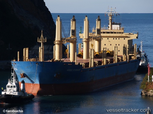
 SAFESEA NEHA
Current Status
Where is the vessel?
SAFESEA NEHA is currently in 23 nm E of The Pearl-Qatar, based on AIS data received less than 1h ago.
Latest AIS update:
Current position: 25.43593° N, 51.96573° E (23 nm E of The Pearl-Qatar)
Average speed (last 7 days): Loading…
Average speed (last 30 days): Loading…
Vessel profile: SAFESEA NEHA is a Bulk Carrier with dimensions m x m.
This page combines live AIS, route history, probable destination signals, nearby traffic, and port activity for practical vessel monitoring.
The current position of vessel SAFESEA NEHA is 25.43593 lat / 51.96573 lng. Updated: 2026-05-01 00:10:14 UTCNearest reference points:
- Near RAS LAFFAN
- 21 nm NE of Halul Island
- Near Das Island
Currently sailing under the flag of Marshall Islands ![]()
Details:
Live Vessel SAFESEA NEHA Analytics (details, animations, etc.)
Recent AIS points (UTC):
2026-04-30 19:10:12 UTC · 25.43599, 51.96580 · SOG 0.3 kn · COG 333°2026-04-30 21:34:10 UTC · 25.43602, 51.96599 · SOG 0 kn · COG 346°
2026-04-30 21:34:10 UTC · 25.43602, 51.96599 · SOG 0 kn · COG 346°
2026-05-01 00:10:14 UTC · 25.43593, 51.96573 · SOG 0.1 kn · COG 349°