 vesseltracker.com
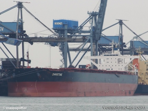
Star Martha
Current StatusWhere is the vessel?
Star Martha is currently in 45 nm N of Fortaleza, based on AIS data received less than 1h ago.
Latest AIS update:
Current position: 2.99761° S, 38.23538° W (45 nm N of Fortaleza)
Average speed (last 7 days): Loading…
Average speed (last 30 days): Loading…
Vessel profile: Star Martha is a Bulk Carrier with dimensions 45m x 289m.
This page combines live AIS, route history, probable destination signals, nearby traffic, and port activity for practical vessel monitoring.
The current position of vessel Star Martha is -2.99761 lat / -38.23538 lng. Updated: 2026-05-13 22:32:52 UTCNearest reference points:
- 28 nm N of Pecém Pt/São Gonçalo do Amarante
- 169 nm N of Pecém Pt/São Gonçalo do Amarante
- 141 nm N of Itarema
Details:
Live Vessel Star Martha Analytics (details, animations, etc.)
Recent AIS points (UTC):
2026-05-13 19:12:14 UTC · -2.75333, -38.63833 · SOG 8 kn · COG -1°2026-05-13 19:51:34 UTC · -2.80208, -38.55934 · SOG 8.4 kn · COG 119°
2026-05-13 21:45:51 UTC · -2.94622, -38.33166 · SOG 8.6 kn · COG 120°
2026-05-13 22:32:52 UTC · -2.99761, -38.23538 · SOG 8.4 kn · COG 112°