 vesseltracker.com
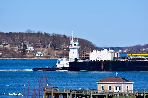
 Blue Fin
Current Status
Where is the vessel?
Blue Fin is currently in Near Saint Rose, based on AIS data received less than 1h ago.
Latest AIS update:
Current position: 29.93853° N, 90.32078° W (Near Saint Rose)
Average speed (last 7 days): Loading…
Average speed (last 30 days): Loading…
Vessel profile: Blue Fin is a Pusher Tug with dimensions 142m x 22m.
This page combines live AIS, route history, probable destination signals, nearby traffic, and port activity for practical vessel monitoring.
The current position of vessel Blue Fin is 29.93853 lat / -90.32078 lng. Updated: 2026-05-14 20:04:42 UTCNearest reference points:
- Near Boutte
- Near Good Hope
- Near Marrero
Currently sailing under the flag of USA ![]()
Blue Fin built in 2010 year
Deadweight:
428 tDetails:
Live Vessel Blue Fin Analytics (details, animations, etc.)
Recent AIS points (UTC):
2026-05-14 16:14:01 UTC · 29.93858, -90.32076 · SOG 0 kn · COG 245°2026-05-14 17:34:10 UTC · 29.93833, -90.32000 · SOG 0 kn · COG -1°
2026-05-14 19:07:12 UTC · 29.93833, -90.32000 · SOG 0 kn · COG -1°
2026-05-14 20:04:42 UTC · 29.93853, -90.32078 · SOG 0 kn · COG 245°