 vesseltracker.com
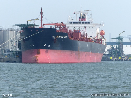
 CHEMROAD HOPE
Current Status
Where is the vessel?
CHEMROAD HOPE is currently in 352 nm SE of Santa Venera, based on AIS data received about 3h ago.
Latest AIS update:
Current position: 32.37113° N, 149.06264° E (352 nm SE of Santa Venera)
Average speed (last 7 days): Loading…
Average speed (last 30 days): Loading…
Vessel profile: CHEMROAD HOPE is a Chemical/Oil Products Tanker with dimensions 27m x 170m.
This page combines live AIS, route history, probable destination signals, nearby traffic, and port activity for practical vessel monitoring.
The current position of vessel CHEMROAD HOPE is 32.37113 lat / 149.06264 lng. Updated: 2026-05-01 19:23:42 UTCNearest reference points:
- Open sea, approx. 401 nm off the nearest listed port
- Open sea, approx. 400 nm off the nearest listed port
- Open sea, approx. 402 nm off the nearest listed port
Currently sailing under the flag of Panama ![]()
CHEMROAD HOPE built in 2011 year
Deadweight:
33552 tDetails:
Live Vessel CHEMROAD HOPE Analytics (details, animations, etc.)
Recent AIS points (UTC):
2026-05-01 19:23:42 UTC · 32.37113, 149.06264 · SOG 12.1 kn · COG 94°2026-05-01 19:23:42 UTC · 32.37113, 149.06264 · SOG 12.1 kn · COG 94°
2026-05-01 19:23:42 UTC · 32.37113, 149.06264 · SOG 12.1 kn · COG 94°
2026-05-01 19:23:42 UTC · 32.37113, 149.06264 · SOG 12.1 kn · COG 94°