 vesseltracker.com
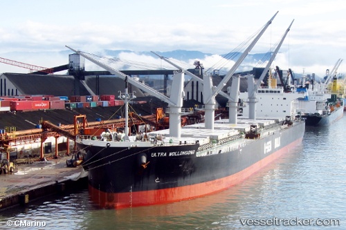
 LILAS SHINE
Current Status
Where is the vessel?
LILAS SHINE is currently in 47 nm NE of Lü-hua Shan, based on AIS data received about 2h ago.
Latest AIS update:
Current position: 31.32100° N, 123.31775° E (47 nm NE of Lü-hua Shan)
Average speed (last 7 days): Loading…
Average speed (last 30 days): Loading…
Vessel profile: LILAS SHINE is a Bulk Carrier with dimensions m x m.
This page combines live AIS, route history, probable destination signals, nearby traffic, and port activity for practical vessel monitoring.
The current position of vessel LILAS SHINE is 31.32100 lat / 123.31775 lng. Updated: 2026-05-02 19:06:23 UTCNearest reference points:
- 44 nm E of Lü-hua Shan
- 70 nm NE of Jingjiang
- 21 nm NE of Lü-hua Shan
Currently sailing under the flag of Panama ![]()
Details:
Live Vessel LILAS SHINE Analytics (details, animations, etc.)
Recent AIS points (UTC):
2026-05-02 15:18:14 UTC · 31.87671, 123.28614 · SOG 8 kn · COG 177°2026-05-02 17:58:34 UTC · 31.49983, 123.31767 · SOG 8 kn · COG 188°
2026-05-02 19:06:23 UTC · 31.32100, 123.31775 · SOG 10 kn · COG 194°
2026-05-02 19:06:23 UTC · 31.32100, 123.31775 · SOG 10 kn · COG 194°