 vesseltracker.com
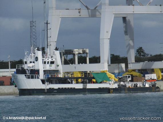
 Go Navigator
Current Status
Where is the vessel?
Go Navigator is currently in Near Long Beach, based on AIS data received less than 1h ago.
Latest AIS update:
Current position: 33.74545° N, 118.22487° W (Near Long Beach)
Average speed (last 7 days): Loading…
Average speed (last 30 days): Loading…
Vessel profile: Go Navigator is a Offshore Tug Supply Ship with dimensions 45m x 11m.
This page combines live AIS, route history, probable destination signals, nearby traffic, and port activity for practical vessel monitoring.
The current position of vessel Go Navigator is 33.74545 lat / -118.22487 lng. Updated: 2026-05-14 01:18:06 UTCNearest reference points:
- Near Long Beach
- Near Los Angeles
- Near Seal Beach
Currently sailing under the flag of USA ![]()
Go Navigator built in 2009 year
Deadweight:
659 tDetails:
Live Vessel Go Navigator Analytics (details, animations, etc.)
Recent AIS points (UTC):
2026-05-13 22:21:41 UTC · 33.74500, -118.22333 · SOG 0 kn · COG -1°2026-05-13 22:27:03 UTC · 33.74547, -118.22484 · SOG 0 kn · COG 189°
2026-05-13 23:54:44 UTC · 33.74500, -118.22333 · SOG 0 kn · COG -1°
2026-05-14 01:18:06 UTC · 33.74545, -118.22487 · SOG 0.1 kn · COG 188°