 vesseltracker.com
 KITSOS
Current Status
Where is the vessel?
KITSOS is currently in 100 nm SE of Ruby, based on AIS data received about 3h ago.
Latest AIS update:
Current position: 9.64228° N, 110.02370° E (100 nm SE of Ruby)
Average speed (last 7 days): Loading…
Average speed (last 30 days): Loading…
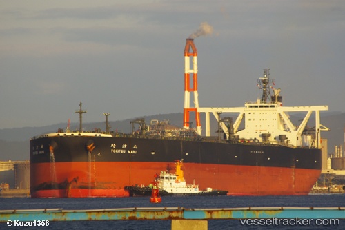
Vessel profile: KITSOS is a Crude Oil Tanker with dimensions 333m x 60m.
This page combines live AIS, route history, probable destination signals, nearby traffic, and port activity for practical vessel monitoring.
The current position of vessel KITSOS is 9.64228 lat / 110.02370 lng. Updated: 2026-05-14 23:31:55 UTCNearest reference points:
- 156 nm SE of Phan Rang-Tháp Chàm
- Near Rang Dong
- 163 nm E of Vinh Cam Ranh
Currently sailing under the flag of Liberia ![]()
KITSOS built in 2011 year
Deadweight:
305484 tDetails:
Live Vessel KITSOS Analytics (details, animations, etc.)
Recent AIS points (UTC):
2026-05-14 20:01:54 UTC · 10.09597, 110.27912 · SOG 9 kn · COG 210°2026-05-14 22:09:05 UTC · 9.83153, 110.12317 · SOG 9 kn · COG 215°
2026-05-14 22:09:05 UTC · 9.83153, 110.12317 · SOG 9 kn · COG 215°
2026-05-14 23:31:55 UTC · 9.64228, 110.02370 · SOG 9 kn · COG 213°