 vesseltracker.com
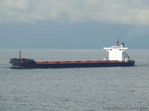
Solar Hope
Current StatusWhere is the vessel?
Solar Hope is currently in 235 nm W of Saldanha Bay, based on AIS data received less than 1h ago.
Latest AIS update:
Current position: 33.31132° S, 13.19504° E (235 nm W of Saldanha Bay)
Average speed (last 7 days): Loading…
Average speed (last 30 days): Loading…
Vessel profile: Solar Hope is a Bulk Carrier with dimensions 45m x 292m.
This page combines live AIS, route history, probable destination signals, nearby traffic, and port activity for practical vessel monitoring.
The current position of vessel Solar Hope is -33.31132 lat / 13.19504 lng. Updated: 2026-05-14 04:32:07 UTCNearest reference points:
- 254 nm W of Saldanha Bay
- 271 nm NW of Caufield North
- 167 nm SW of Koiingnaas
Details:
Live Vessel Solar Hope Analytics (details, animations, etc.)
Recent AIS points (UTC):
2026-05-14 01:22:42 UTC · -33.48667, 13.95833 · SOG 11 kn · COG -1°2026-05-14 01:30:38 UTC · -33.48078, 13.92915 · SOG 11.7 kn · COG 281°
2026-05-14 03:42:08 UTC · -33.35867, 13.40207 · SOG 13 kn · COG 283°
2026-05-14 04:32:07 UTC · -33.31132, 13.19504 · SOG 12.8 kn · COG 283°