 vesseltracker.com
 FORTUNE ISLAND
Current Status
Where is the vessel?
FORTUNE ISLAND is currently in 14 nm W of Tambo de Mora, based on AIS data received about 3h ago.
Latest AIS update:
Current position: 13.43987° S, 76.43592° W (14 nm W of Tambo de Mora)
Average speed (last 7 days): Loading…
Average speed (last 30 days): Loading…
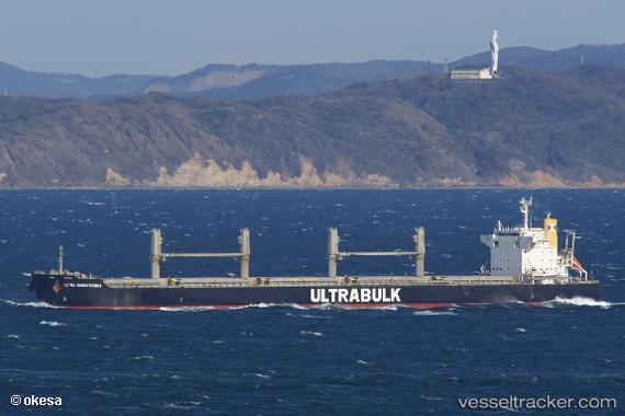
Vessel profile: FORTUNE ISLAND is a Bulk Carrier with dimensions 199m x 32m.
This page combines live AIS, route history, probable destination signals, nearby traffic, and port activity for practical vessel monitoring.
The current position of vessel FORTUNE ISLAND is -13.43987 lat / -76.43592 lng. Updated: 2026-05-14 23:34:45 UTCNearest reference points:
- Near Callao
- 43 nm SW of Barranca
Currently sailing under the flag of Hong Kong, China ![]()
FORTUNE ISLAND built in 2010 year
Deadweight:
61484 tDetails:
Live Vessel FORTUNE ISLAND Analytics (details, animations, etc.)
Recent AIS points (UTC):
2026-05-14 19:45:39 UTC · -13.80596, -76.29111 · SOG 0 kn · COG 13°2026-05-14 21:51:39 UTC · -13.69865, -76.29785 · SOG 8 kn · COG 354°
2026-05-14 23:09:53 UTC · -13.50123, -76.39346 · SOG 10.7 kn · COG 325°
2026-05-14 23:34:45 UTC · -13.43987, -76.43592 · SOG 10.6 kn · COG 327°