 vesseltracker.com
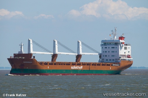
Marsgracht
Current StatusWhere is the vessel?
Marsgracht is currently in Near Beloslav, based on AIS data received less than 1h ago.
Latest AIS update:
Current position: 43.19114° N, 27.64588° E (Near Beloslav)
Average speed (last 7 days): Loading…
Average speed (last 30 days): Loading…
Vessel profile: Marsgracht is a General Cargo Ship with dimensions 19m x 142m.
This page combines live AIS, route history, probable destination signals, nearby traffic, and port activity for practical vessel monitoring.
The current position of vessel Marsgracht is 43.19114 lat / 27.64588 lng. Updated: 2026-05-15 00:59:24 UTCNearest reference points:
- Near Beloslav
- Near Ignatievo
- Near Varna
Details:
Live Vessel Marsgracht Analytics (details, animations, etc.)
Recent AIS points (UTC):
2026-05-14 21:35:56 UTC · 43.19116, 27.64588 · SOG 0 kn · COG 57°2026-05-14 22:41:21 UTC · 43.19101, 27.64588 · SOG 0 kn · COG 57°
2026-05-14 23:59:30 UTC · 43.19117, 27.64595 · SOG 0 kn · COG 57°
2026-05-15 00:59:24 UTC · 43.19114, 27.64588 · SOG 0 kn · COG 57°