 vesseltracker.com
 CANAL
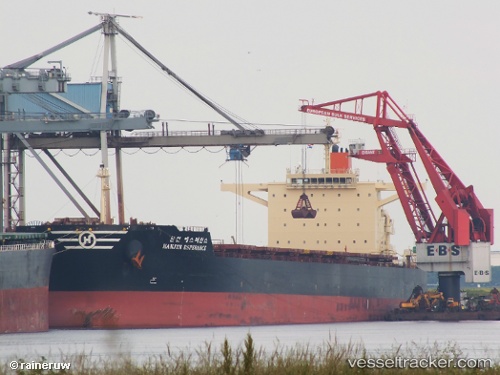
CANAL
Current Status
Where is the vessel?
CANAL is currently in 153 nm SE of Juazeiro-Pi, based on AIS data received less than 1h ago.
Latest AIS update:
Current position: 2.85180° N, 40.59462° W (153 nm SE of Juazeiro-Pi)
Average speed (last 7 days): Loading…
Average speed (last 30 days): Loading…
Vessel profile: CANAL is a Bulk Carrier with dimensions m x m.
This page combines live AIS, route history, probable destination signals, nearby traffic, and port activity for practical vessel monitoring.
The current position of vessel CANAL is 2.85180 lat / -40.59462 lng. Updated: 2026-05-14 04:05:48 UTCCurrently sailing under the flag of Barbados ![]()
Details:
Live Vessel CANAL Analytics (details, animations, etc.)
Recent AIS points (UTC):
2026-05-14 02:00:36 UTC · 2.99750, -40.87713 · SOG 9 kn · COG 113°2026-05-14 02:47:37 UTC · 2.94285, -40.77067 · SOG 9.2 kn · COG 115°
2026-05-14 03:35:16 UTC · 2.88668, -40.66290 · SOG 9.1 kn · COG 115°
2026-05-14 04:05:48 UTC · 2.85180, -40.59462 · SOG 9 kn · COG 115°