 vesseltracker.com
Bastille Street
Current StatusWhere is the vessel?
Bastille Street is currently in 89 nm W of Sangwangdeungdo, based on AIS data received about 1h ago.
Latest AIS update:
Current position: 36.00867° N, 124.36219° E (89 nm W of Sangwangdeungdo)
Average speed (last 7 days): Loading…
Average speed (last 30 days): Loading…
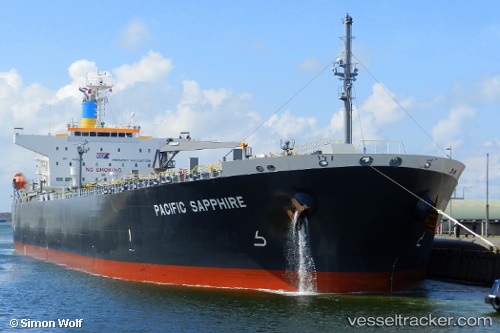
Vessel profile: Bastille Street is a Crude Oil Tanker with dimensions 32m x 180m.
This page combines live AIS, route history, probable destination signals, nearby traffic, and port activity for practical vessel monitoring.
The current position of vessel Bastille Street is 36.00867 lat / 124.36219 lng. Updated: 2026-05-15 05:48:40 UTCNearest reference points:
- 93 nm SE of SHIDAO
- 81 nm SE of SHIDAO
- 72 nm SE of Shidao Pt
Details:
Live Vessel Bastille Street Analytics (details, animations, etc.)
Recent AIS points (UTC):
2026-05-14 22:03:31 UTC · 35.97736, 124.35892 · SOG 0 kn · COG 54°2026-05-15 03:24:02 UTC · 35.99141, 124.36488 · SOG 0 kn · COG 19°
2026-05-15 05:01:49 UTC · 36.00371, 124.36539 · SOG 0.4 kn · COG 303°
2026-05-15 05:48:40 UTC · 36.00867, 124.36219 · SOG 0.4 kn · COG 327°