 vesseltracker.com
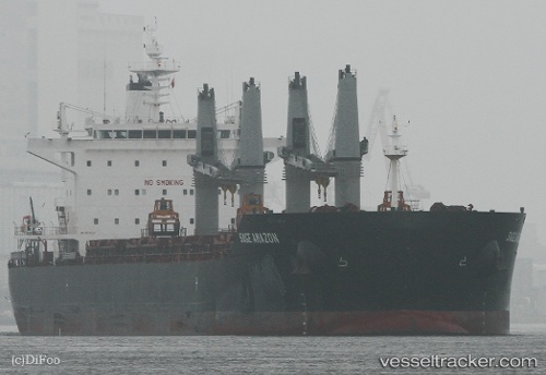
 ASL TIA
Current Status
Where is the vessel?
ASL TIA is currently in 39 nm NE of Bnei Darom, based on AIS data received about 4d ago.
Latest AIS update:
Current position: 32.40020° N, 32.00141° E (39 nm NE of Bnei Darom)
Average speed (last 7 days): Loading…
Average speed (last 30 days): Loading…
Vessel profile: ASL TIA is a Bulk Carrier with dimensions 199m x 33m.
This page combines live AIS, route history, probable destination signals, nearby traffic, and port activity for practical vessel monitoring.
The current position of vessel ASL TIA is 32.40020 lat / 32.00141 lng. Updated: 2026-04-14 21:57:09 UTCNearest reference points:
- 24 nm SW of Atakka Dry Port
- 21 nm N of Port Said
- 16 nm N of Port Said
Currently sailing under the flag of Liberia ![]()
ASL TIA built in 2012 year
Deadweight:
63227 tDetails:
Live Vessel ASL TIA Analytics (details, animations, etc.)
Recent AIS points (UTC):
2026-04-14 18:22:03 UTC · 32.13857, 31.14607 · SOG 13 kn · COG 67°2026-04-14 19:49:03 UTC · 32.23969, 31.49779 · SOG 13.1 kn · COG 74°
2026-04-14 21:57:09 UTC · 32.40020, 32.00141 · SOG 13 kn · COG -1°
2026-04-14 21:57:09 UTC · 32.40020, 32.00141 · SOG 13 kn · COG -1°