 vesseltracker.com
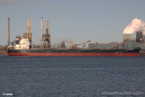
 GEORGE ISLAND
Current Status
Where is the vessel?
GEORGE ISLAND is currently in 135 nm W of LHOKNGA, based on AIS data received about 2h ago.
Latest AIS update:
Current position: 5.06792° N, 93.01817° E (135 nm W of LHOKNGA)
Average speed (last 7 days): Loading…
Average speed (last 30 days): Loading…
Vessel profile: GEORGE ISLAND is a Bulk Carrier with dimensions m x m.
This page combines live AIS, route history, probable destination signals, nearby traffic, and port activity for practical vessel monitoring.
The current position of vessel GEORGE ISLAND is 5.06792 lat / 93.01817 lng. Updated: 2026-05-14 23:56:42 UTCNearest reference points:
- 172 nm W of LHOKNGA
- 160 nm W of Sebang
- 80 nm W of Sebang
Currently sailing under the flag of Liberia ![]()
Details:
Live Vessel GEORGE ISLAND Analytics (details, animations, etc.)
Recent AIS points (UTC):
2026-05-14 19:30:42 UTC · 5.43363, 93.55324 · SOG 9.1 kn · COG 240°2026-05-14 21:52:12 UTC · 5.24500, 93.26194 · SOG 8.8 kn · COG 242°
2026-05-14 22:50:12 UTC · 5.16377, 93.14567 · SOG 9 kn · COG 239°
2026-05-14 23:56:42 UTC · 5.06792, 93.01817 · SOG 8.7 kn · COG 240°