 vesseltracker.com
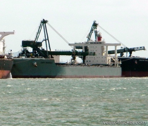
 CAPE MAGNOLIA
Current Status
Where is the vessel?
CAPE MAGNOLIA is currently in 232 nm N of Puerto Egas, based on AIS data received less than 1h ago.
Latest AIS update:
Current position: 3.57492° N, 90.16035° W (232 nm N of Puerto Egas)
Average speed (last 7 days): Loading…
Average speed (last 30 days): Loading…
Vessel profile: CAPE MAGNOLIA is a Bulk Carrier with dimensions m x m.
This page combines live AIS, route history, probable destination signals, nearby traffic, and port activity for practical vessel monitoring.
The current position of vessel CAPE MAGNOLIA is 3.57492 lat / -90.16035 lng. Updated: 2026-05-15 13:16:20 UTCNearest reference points:
- 122 nm N of Caleta Tagus
Currently sailing under the flag of South Africa ![]()
Details:
Live Vessel CAPE MAGNOLIA Analytics (details, animations, etc.)
Recent AIS points (UTC):
2026-05-15 12:11:33 UTC · 3.74493, -90.30859 · SOG 12.6 kn · COG 145°2026-05-15 12:11:33 UTC · 3.74493, -90.30859 · SOG 12.6 kn · COG 145°
2026-05-15 13:16:20 UTC · 3.57492, -90.16035 · SOG 12.5 kn · COG 145°
2026-05-15 13:16:20 UTC · 3.57492, -90.16035 · SOG 12.5 kn · COG 145°