 GEOSTAR
Current Status
Where is the vessel?
GEOSTAR is currently in 10 nm NE of New Mangalore, based on AIS data received about 14h ago.
Latest AIS update:
Current position: 12.16231° N, 74.96247° E (10 nm NE of New Mangalore)
Average speed (last 7 days): Loading…
Average speed (last 30 days): Loading…
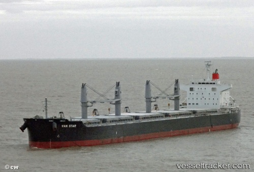
Vessel profile: GEOSTAR is a Bulk Carrier with dimensions m x m.
This page combines live AIS, route history, probable destination signals, nearby traffic, and port activity for practical vessel monitoring.
The current position of vessel GEOSTAR is 12.16231 lat / 74.96247 lng. Updated: 2026-05-24 09:30:46 UTCNearest reference points:
- Near Mangalore
- Near PANAMBUR
- 17 nm NW of Panamburu
Currently sailing under the flag of Liberia ![]()
Details:
Live Vessel GEOSTAR Analytics (details, animations, etc.)
Recent AIS points (UTC):
2026-05-24 06:14:26 UTC · 11.64391, 75.16416 · SOG 9.8 kn · COG 337°2026-05-24 07:52:10 UTC · 11.89833, 75.06167 · SOG 10 kn · COG -1°
2026-05-24 08:13:27 UTC · 11.95644, 75.03997 · SOG 10.1 kn · COG 340°
2026-05-24 09:30:46 UTC · 12.16231, 74.96247 · SOG 10.2 kn · COG 349°