 vesseltracker.com
 AGIA MONI
Current Status
Where is the vessel?
AGIA MONI is currently in Near Quequen, based on AIS data received about 1h ago.
Latest AIS update:
Current position: 38.63123° S, 58.50143° W (Near Quequen)
Average speed (last 7 days): Loading…
Average speed (last 30 days): Loading…
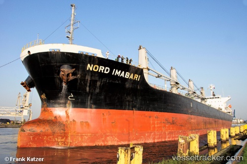
Vessel profile: AGIA MONI is a Bulk Carrier with dimensions 180m x 30m.
This page combines live AIS, route history, probable destination signals, nearby traffic, and port activity for practical vessel monitoring.
The current position of vessel AGIA MONI is -38.63123 lat / -58.50143 lng. Updated: 2026-04-24 19:58:04 UTCNearest reference points:
- Near NECOCHEA
- Near Mar Del Plata
Currently sailing under the flag of Marshall Islands ![]()
AGIA MONI built in 2010 year
Deadweight:
38271 tDetails:
Live Vessel AGIA MONI Analytics (details, animations, etc.)
Recent AIS points (UTC):
2026-04-24 15:53:29 UTC · -38.63012, -58.49941 · SOG 0.1 kn · COG 259°2026-04-24 18:17:33 UTC · -38.62981, -58.49961 · SOG 0.1 kn · COG 242°
2026-04-24 19:38:31 UTC · -38.62959, -58.50021 · SOG 0.5 kn · COG 234°
2026-04-24 19:58:04 UTC · -38.63123, -58.50143 · SOG 0.8 kn · COG 255°