 vesseltracker.com
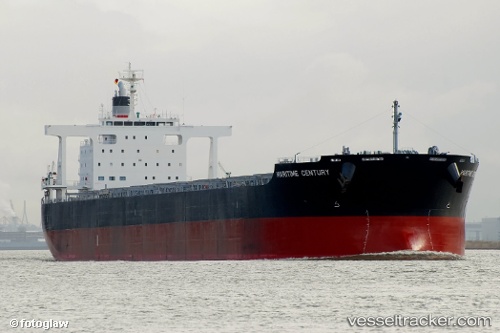
 IFESTOS
Current Status
Where is the vessel?
IFESTOS is currently in Near Yeppoon, based on AIS data received about 1h ago.
Latest AIS update:
Current position: 23.06676° S, 151.24001° E (Near Yeppoon)
Average speed (last 7 days): Loading…
Average speed (last 30 days): Loading…
Vessel profile: IFESTOS is a Bulk Carrier with dimensions 235m x 38m.
This page combines live AIS, route history, probable destination signals, nearby traffic, and port activity for practical vessel monitoring.
The current position of vessel IFESTOS is -23.06676 lat / 151.24001 lng. Updated: 2026-05-15 08:10:17 UTCNearest reference points:
- 26 nm SE of North Richmond
- Near ROSSLYN
- Near Gladstone Harbor
Currently sailing under the flag of Bahamas ![]()
IFESTOS built in 2010 year
Deadweight:
95790 tDetails:
Live Vessel IFESTOS Analytics (details, animations, etc.)
Recent AIS points (UTC):
2026-05-15 04:09:12 UTC · -22.33718, 150.93942 · SOG 12.8 kn · COG 161°2026-05-15 06:27:18 UTC · -22.76528, 151.11794 · SOG 11.4 kn · COG 157°
2026-05-15 07:16:09 UTC · -22.90879, 151.17441 · SOG 11.1 kn · COG 156°
2026-05-15 08:10:17 UTC · -23.06676, 151.24001 · SOG 11.1 kn · COG 154°