 vesseltracker.com
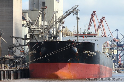
River King Master
Current StatusWhere is the vessel?
River King Master is currently in 19 nm W of Kiamari, based on AIS data received less than 1h ago.
Latest AIS update:
Current position: 24.87140° N, 66.62475° E (19 nm W of Kiamari)
Average speed (last 7 days): Loading…
Average speed (last 30 days): Loading…
Vessel profile: River King Master is a Bulk Carrier with dimensions 38m x 229m.
This page combines live AIS, route history, probable destination signals, nearby traffic, and port activity for practical vessel monitoring.
The current position of vessel River King Master is 24.87140 lat / 66.62475 lng. Updated: 2026-04-24 11:54:42 UTCNearest reference points:
- Near Kiamari
- 16 nm S of Kiamari
- Near PORT QASIM
Details:
Live Vessel River King Master Analytics (details, animations, etc.)
Recent AIS points (UTC):
2026-04-24 05:00:37 UTC · 24.87120, 66.62477 · SOG 0 kn · COG 249°2026-04-24 10:03:37 UTC · 24.87143, 66.62472 · SOG 0 kn · COG 243°
2026-04-24 10:03:37 UTC · 24.87143, 66.62472 · SOG 0 kn · COG 243°
2026-04-24 11:54:42 UTC · 24.87140, 66.62475 · SOG 0 kn · COG 247°