 vesseltracker.com
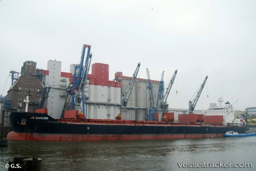
 DARYA MAYA
Current Status
Where is the vessel?
DARYA MAYA is currently in 372 nm NE of Port Mathurin, based on AIS data received about 1h ago.
Latest AIS update:
Current position: 14.94343° S, 67.59648° E (372 nm NE of Port Mathurin)
Average speed (last 7 days): Loading…
Average speed (last 30 days): Loading…
Vessel profile: DARYA MAYA is a Bulk Carrier with dimensions 32m x 199m.
This page combines live AIS, route history, probable destination signals, nearby traffic, and port activity for practical vessel monitoring.
The current position of vessel DARYA MAYA is -14.94343 lat / 67.59648 lng. Updated: 2026-05-14 16:41:08 UTCNearest reference points:
- Open sea, approx. 400 nm off the nearest listed port
- Open sea, approx. 401 nm off the nearest listed port
- Open sea, approx. 402 nm off the nearest listed port
Currently sailing under the flag of Marshall Islands ![]()
DARYA MAYA built in 2012 year
Deadweight:
63301 tDetails:
Live Vessel DARYA MAYA Analytics (details, animations, etc.)
Recent AIS points (UTC):
2026-05-14 13:13:49 UTC · -15.23072, 67.16659 · SOG 8.7 kn · COG 52°2026-05-14 13:43:23 UTC · -15.18589, 67.22625 · SOG 8.6 kn · COG 59°
2026-05-14 15:23:30 UTC · -15.05381, 67.43806 · SOG 8.8 kn · COG 51°
2026-05-14 16:41:08 UTC · -14.94343, 67.59648 · SOG 8.7 kn · COG 54°