 vesseltracker.com
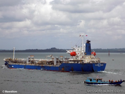
 DL AMBER
Current Status
Where is the vessel?
DL AMBER is currently in 12 nm SW of Incheon, based on AIS data received less than 1h ago.
Latest AIS update:
Current position: 37.32553° N, 126.42549° E (12 nm SW of Incheon)
Average speed (last 7 days): Loading…
Average speed (last 30 days): Loading…
Vessel profile: DL AMBER is a Oil/Chemical Tanker with dimensions m x m.
This page combines live AIS, route history, probable destination signals, nearby traffic, and port activity for practical vessel monitoring.
The current position of vessel DL AMBER is 37.32553 lat / 126.42549 lng. Updated: 2026-05-14 17:36:13 UTCNearest reference points:
- 14 nm SW of Incheon
- 10 nm N of DAESAN
- Near Incheon
Currently sailing under the flag of South Korea ![]()
Details:
Live Vessel DL AMBER Analytics (details, animations, etc.)
Recent AIS points (UTC):
2026-05-14 14:03:14 UTC · 37.32606, 126.42508 · SOG 0.1 kn · COG 215°2026-05-14 15:48:12 UTC · 37.32586, 126.42537 · SOG 0 kn · COG 229°
2026-05-14 16:57:11 UTC · 37.32566, 126.42544 · SOG 0 kn · COG 237°
2026-05-14 17:36:13 UTC · 37.32553, 126.42549 · SOG 0 kn · COG 243°