 vesseltracker.com
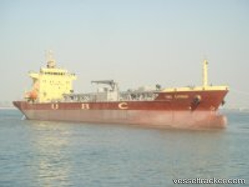
 BLUE CIMENT 3
Current Status
Where is the vessel?
BLUE CIMENT 3 is currently in Near Mestre, based on AIS data received about 1h ago.
Latest AIS update:
Current position: 45.45930° N, 12.26132° E (Near Mestre)
Average speed (last 7 days): Loading…
Average speed (last 30 days): Loading…
Vessel profile: BLUE CIMENT 3 is a Cement Carrier with dimensions 20m x 132m.
This page combines live AIS, route history, probable destination signals, nearby traffic, and port activity for practical vessel monitoring.
The current position of vessel BLUE CIMENT 3 is 45.45930 lat / 12.26132 lng. Updated: 2026-05-17 19:53:12 UTCNearest reference points:
- Near Marghera
- Near Venezia
- Near Murano
Currently sailing under the flag of Liberia ![]()
BLUE CIMENT 3 built in 2010 year
Deadweight:
15053 tDetails:
Live Vessel BLUE CIMENT 3 Analytics (details, animations, etc.)
Recent AIS points (UTC):
2026-05-17 15:28:51 UTC · 45.45935, 12.26128 · SOG 0 kn · COG 356°2026-05-17 17:38:07 UTC · 45.45931, 12.26131 · SOG 0 kn · COG 356°
2026-05-17 19:26:01 UTC · 45.45929, 12.26132 · SOG 0 kn · COG 356°
2026-05-17 19:53:12 UTC · 45.45930, 12.26132 · SOG 0 kn · COG 356°