 vesseltracker.com
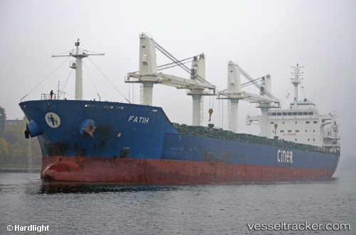
 BLUE STAR
Current Status
Where is the vessel?
BLUE STAR is currently in 78 nm SE of Paget Parish, based on AIS data received about 1h ago.
Latest AIS update:
Current position: 31.22833° N, 63.88833° W (78 nm SE of Paget Parish)
Average speed (last 7 days): Loading…
Average speed (last 30 days): Loading…
Vessel profile: BLUE STAR is a Bulk Carrier with dimensions m x m.
This page combines live AIS, route history, probable destination signals, nearby traffic, and port activity for practical vessel monitoring.
The current position of vessel BLUE STAR is 31.22833 lat / -63.88833 lng. Updated: 2026-04-29 19:48:06 UTCCurrently sailing under the flag of Liberia ![]()
Details:
Live Vessel BLUE STAR Analytics (details, animations, etc.)
Recent AIS points (UTC):
2026-04-29 16:51:06 UTC · 31.03833, -64.41333 · SOG 9 kn · COG -1°2026-04-29 17:39:49 UTC · 31.09943, -64.27666 · SOG 9.7 kn · COG 60°
2026-04-29 19:45:04 UTC · 31.22500, -63.89667 · SOG 9 kn · COG -1°
2026-04-29 19:48:06 UTC · 31.22833, -63.88833 · SOG 9 kn · COG -1°