 vesseltracker.com
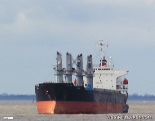
 Patria
Current Status
Where is the vessel?
Patria is currently in Near SVETLY, based on AIS data received less than 1h ago.
Latest AIS update:
Current position: 54.68833° N, 20.19667° E (Near SVETLY)
Average speed (last 7 days): Loading…
Average speed (last 30 days): Loading…
Vessel profile: Patria is a Bulk Carrier with dimensions 175m x 175m.
This page combines live AIS, route history, probable destination signals, nearby traffic, and port activity for practical vessel monitoring.
The current position of vessel Patria is 54.68833 lat / 20.19667 lng. Updated: 2026-04-20 21:06:29 UTCNearest reference points:
- Near SVETLY
- Near Kaliningrad
- Near Baltiysk
Currently sailing under the flag of Liberia ![]()
Details:
Live Vessel Patria Analytics (details, animations, etc.)
Recent AIS points (UTC):
2026-04-20 17:26:38 UTC · 54.68988, 20.19815 · SOG 0 kn · COG 12°2026-04-20 19:16:50 UTC · 54.68987, 20.19816 · SOG 0 kn · COG 12°
2026-04-20 20:01:19 UTC · 54.68988, 20.19816 · SOG 0 kn · COG 12°
2026-04-20 21:06:29 UTC · 54.68833, 20.19667 · SOG 0 kn · COG -1°