 vesseltracker.com
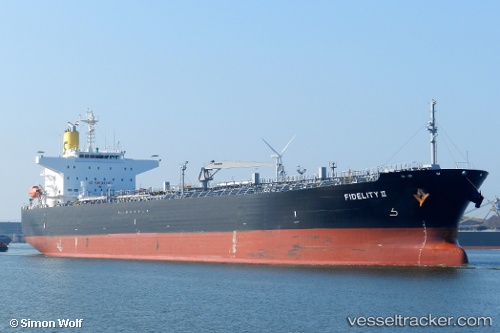
 MFM MEMPHIS
Current Status
Where is the vessel?
MFM MEMPHIS is currently in 215 nm E of Suqutrá, based on AIS data received less than 1h ago.
Latest AIS update:
Current position: 13.63497° N, 57.48010° E (215 nm E of Suqutrá)
Average speed (last 7 days): Loading…
Average speed (last 30 days): Loading…
Vessel profile: MFM MEMPHIS is a Oil Products Tanker with dimensions m x m.
This page combines live AIS, route history, probable destination signals, nearby traffic, and port activity for practical vessel monitoring.
The current position of vessel MFM MEMPHIS is 13.63497 lat / 57.48010 lng. Updated: 2026-05-18 03:55:23 UTCCurrently sailing under the flag of Marshall Islands ![]()
Details:
Live Vessel MFM MEMPHIS Analytics (details, animations, etc.)
Recent AIS points (UTC):
2026-05-17 22:07:58 UTC · 12.38504, 57.07196 · SOG 13.2 kn · COG 14°2026-05-17 22:34:08 UTC · 12.47617, 57.10243 · SOG 13 kn · COG 14°
2026-05-18 01:33:30 UTC · 13.11721, 57.31010 · SOG 14.1 kn · COG 17°
2026-05-18 03:55:23 UTC · 13.63497, 57.48010 · SOG 14.1 kn · COG 20°