 vesseltracker.com
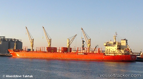
 SKYFALL
Current Status
Where is the vessel?
SKYFALL is currently in 34 nm W of Paracas, based on AIS data received less than 1h ago.
Latest AIS update:
Current position: 14.07833° S, 76.80667° W (34 nm W of Paracas)
Average speed (last 7 days): Loading…
Average speed (last 30 days): Loading…
Vessel profile: SKYFALL is a Bulk Carrier with dimensions m x m.
This page combines live AIS, route history, probable destination signals, nearby traffic, and port activity for practical vessel monitoring.
The current position of vessel SKYFALL is -14.07833 lat / -76.80667 lng. Updated: 2026-05-14 21:50:37 UTCNearest reference points:
- Near Callao
Currently sailing under the flag of Marshall Islands ![]()
Details:
Live Vessel SKYFALL Analytics (details, animations, etc.)
Recent AIS points (UTC):
2026-05-14 18:00:24 UTC · -13.35219, -76.98916 · SOG 11.4 kn · COG 163°2026-05-14 19:35:13 UTC · -13.64608, -76.90778 · SOG 11.4 kn · COG 166°
2026-05-14 19:47:38 UTC · -13.68500, -76.89667 · SOG 11 kn · COG -1°
2026-05-14 21:50:37 UTC · -14.07833, -76.80667 · SOG 11 kn · COG -1°