 vesseltracker.com
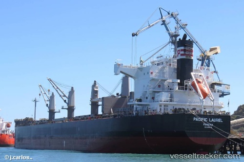
 AMMAR I
Current Status
Where is the vessel?
AMMAR I is currently in 83 nm E of Kampung Jawa, based on AIS data received about 1h ago.
Latest AIS update:
Current position: 2.54913° N, 104.95133° E (83 nm E of Kampung Jawa)
Average speed (last 7 days): Loading…
Average speed (last 30 days): Loading…
Vessel profile: AMMAR I is a Bulk Carrier with dimensions m x m.
This page combines live AIS, route history, probable destination signals, nearby traffic, and port activity for practical vessel monitoring.
The current position of vessel AMMAR I is 2.54913 lat / 104.95133 lng. Updated: 2026-05-13 23:46:08 UTCNearest reference points:
- 80 nm SW of Terempa
- 64 nm NE of PENGERANG
- 53 nm NE of PENGERANG
Currently sailing under the flag of Bangladesh ![]()
Details:
Live Vessel AMMAR I Analytics (details, animations, etc.)
Recent AIS points (UTC):
2026-05-13 20:01:59 UTC · 1.93265, 104.65097 · SOG 11 kn · COG 0°2026-05-13 21:59:59 UTC · 2.27044, 104.77359 · SOG 11 kn · COG 28°
2026-05-13 22:14:21 UTC · 2.30667, 104.79667 · SOG 10 kn · COG -1°
2026-05-13 23:46:08 UTC · 2.54913, 104.95133 · SOG 11.2 kn · COG 28°