 vesseltracker.com
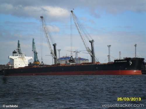
 CARAVOS EXPLORER II
Current Status
Where is the vessel?
CARAVOS EXPLORER II is currently in 151 nm N of Jayapura, Irian Jaya, based on AIS data received about 1h ago.
Latest AIS update:
Current position: 0.15262° S, 141.49240° E (151 nm N of Jayapura, Irian Jaya)
Average speed (last 7 days): Loading…
Average speed (last 30 days): Loading…
Vessel profile: CARAVOS EXPLORER II is a Bulk Carrier with dimensions m x m.
This page combines live AIS, route history, probable destination signals, nearby traffic, and port activity for practical vessel monitoring.
The current position of vessel CARAVOS EXPLORER II is -0.15262 lat / 141.49240 lng. Updated: 2026-05-14 14:03:23 UTCNearest reference points:
- Near Sukarnopura
Currently sailing under the flag of Marshall Islands ![]()
Details:
Live Vessel CARAVOS EXPLORER II Analytics (details, animations, etc.)
Recent AIS points (UTC):
2026-05-14 10:22:03 UTC · -0.61427, 141.99380 · SOG 10.7 kn · COG 317°2026-05-14 11:41:41 UTC · -0.45333, 141.81500 · SOG 11 kn · COG -1°
2026-05-14 13:24:27 UTC · -0.23607, 141.58005 · SOG 11.1 kn · COG 316°
2026-05-14 14:03:23 UTC · -0.15262, 141.49240 · SOG 11 kn · COG 315°