 vesseltracker.com
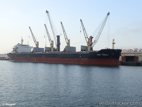
 TULIP
TULIP
Current Status
Where is the vessel?
TULIP is currently in Near Little Aden, based on AIS data received about 2h ago.
Latest AIS update:
Current position: 12.71500° N, 44.90167° E (Near Little Aden)
Average speed (last 7 days): Loading…
Average speed (last 30 days): Loading…
Vessel profile: TULIP is a Cargo with dimensions m x m.
This page combines live AIS, route history, probable destination signals, nearby traffic, and port activity for practical vessel monitoring.
The current position of vessel TULIP is 12.71500 lat / 44.90167 lng. Updated: 2026-05-15 03:59:42 UTCNearest reference points:
- Near Djibouti
Currently sailing under the flag of Marshall Islands ![]()
Details:
Live Vessel TULIP Analytics (details, animations, etc.)
Recent AIS points (UTC):
2026-05-14 22:38:37 UTC · 12.20667, 44.49500 · SOG 9 kn · COG -1°2026-05-15 00:13:17 UTC · 12.37575, 44.67160 · SOG 9.1 kn · COG 48°
2026-05-15 03:23:39 UTC · 12.69333, 44.87833 · SOG 5 kn · COG -1°
2026-05-15 03:59:42 UTC · 12.71500, 44.90167 · SOG 1 kn · COG -1°