 vesseltracker.com
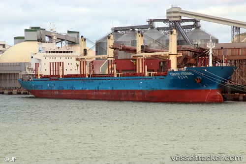
 CHRISTINA
Current Status
Where is the vessel?
CHRISTINA is currently in Near Mersin, based on AIS data received about 1h ago.
Latest AIS update:
Current position: 36.72315° N, 34.63243° E (Near Mersin)
Average speed (last 7 days): Loading…
Average speed (last 30 days): Loading…
Vessel profile: CHRISTINA is a Bulk Carrier with dimensions m x m.
This page combines live AIS, route history, probable destination signals, nearby traffic, and port activity for practical vessel monitoring.
The current position of vessel CHRISTINA is 36.72315 lat / 34.63243 lng. Updated: 2026-05-02 08:02:40 UTCNearest reference points:
- Near Mersin
- Near Mersin-Free Zone
- Near YUMURTALIC
Currently sailing under the flag of Marshall Islands ![]()
Details:
Live Vessel CHRISTINA Analytics (details, animations, etc.)
Recent AIS points (UTC):
2026-05-02 04:39:07 UTC · 36.72136, 34.63025 · SOG 0 kn · COG 81°2026-05-02 05:56:29 UTC · 36.72223, 34.63060 · SOG 0 kn · COG 111°
2026-05-02 07:08:32 UTC · 36.72266, 34.63109 · SOG 0 kn · COG 145°
2026-05-02 08:02:40 UTC · 36.72315, 34.63243 · SOG 0 kn · COG 184°